
Add Maps plots where your ancestors’ lives happened. It geocodes the places and addresses in your project using a free geocoding service of your choice (Geoapify, OpenCage or LocationIQ). You can correct any coordinate by clicking on a map, and Edit ▸ Undo Plugin Updates reverses its changes until you close Family Historian.
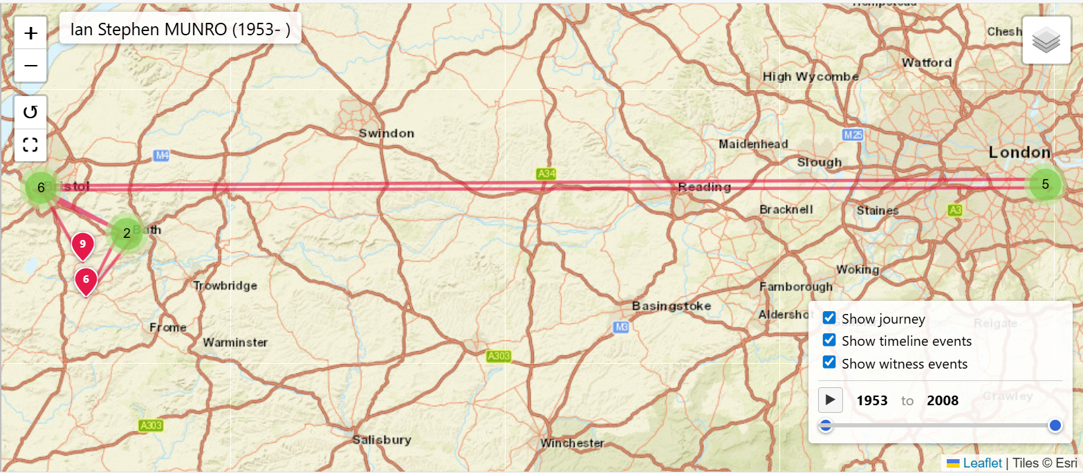
It can also build interactive maps for the individuals you choose, one per person or one combined map. Each map can show the events you pick, witnessed events and relatives’ events. A numbered journey line, a time slider, and the age at each event show how a life moved from place to place. Street, satellite and historic Ordnance Survey maps are available as backgrounds. Maps can be embedded in the matching pages of a website generated by Family Historian. People flagged Private or Living are left out of published maps, and you’re asked to confirm before any page is changed.
- Family Historian Version(s): V8
- Plugin Type: Standard
- Written by colevalleygirl
- View Source Code
- Downloaded 0 times
- See Help page for more information
Version History
Version 1.0: Initial Version
Leave a Reply